 |
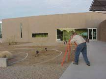
Phase
1: Construction of GeoMap
began with removal of the original landscape gravels (preserving
the trees and existing electrical lighting). Then the area was
surveyed by Gary Calderone, Wayne Johnson, and Steve Kadel. |
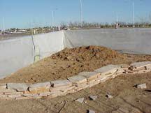 |
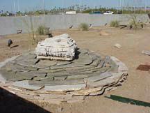
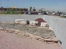
Phase
2: Construction of Elsner
Butte and Abel Terrace. Flagstones are a facade in front of compacted
dirt. |
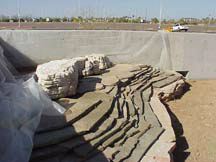 |
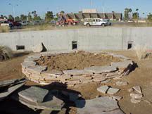
Phase
3: Completion of Elsner
Butte and Abel Terrace. Limestone Boulders Cap these features |
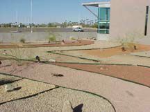 |
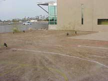
Phase
4: "Outcrops"
of other rock units are installed and similarly colored gravel
is spread in designated pattern. |
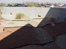  |
Phase
5: "Volcano"
and "Gonzalez Creek" are installed (by GCC faculty) |
